Scooped by Dennis Swender |
Get Started for FREE
Sign up with Facebook Sign up with X
I don't have a Facebook or a X account
Your new post is loading...
Bridget Barker's curator insight,
November 30, 2017 11:14 AM
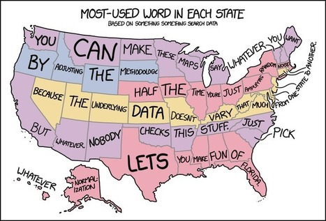
I heart xkcd
Sign up to comment
Ruth Reynolds's curator insight,
April 19, 2016 7:11 PM
I am just interested on what all these things tell us. ArcGIS is amazing new software which improves all the time. So much more we can do with Geography !!
|
Jose Sepulveda's curator insight,
July 29, 2016 1:19 PM
thee precaution should be taken with environmental data published as integrated variable maps
Colleen Blankenship's curator insight,
August 4, 2016 9:12 AM
Maps, like statistics, can tell very different stories using the same information! Read this for some examples!
Angus Henderson's curator insight,
July 2, 2015 2:04 AM
A mapping 'take-down' of great detail, with lots of of interesting linked examples
Campbell Ingraham's curator insight,
May 25, 2015 3:14 PM
This video relates to Use of geospatial technologies, such as GIS, remote sensing, global positioning systems (GPS), and online maps. It tells about how the world is a 3D shape, but we view it as 2D, which leads to distortions in world size. The use of GIS allows for the world to be projected onto any shape such as a cone, rectangle, prism, or pyramid. And this leads to the different map projections. |